Naglee Park in Map prior to 1902

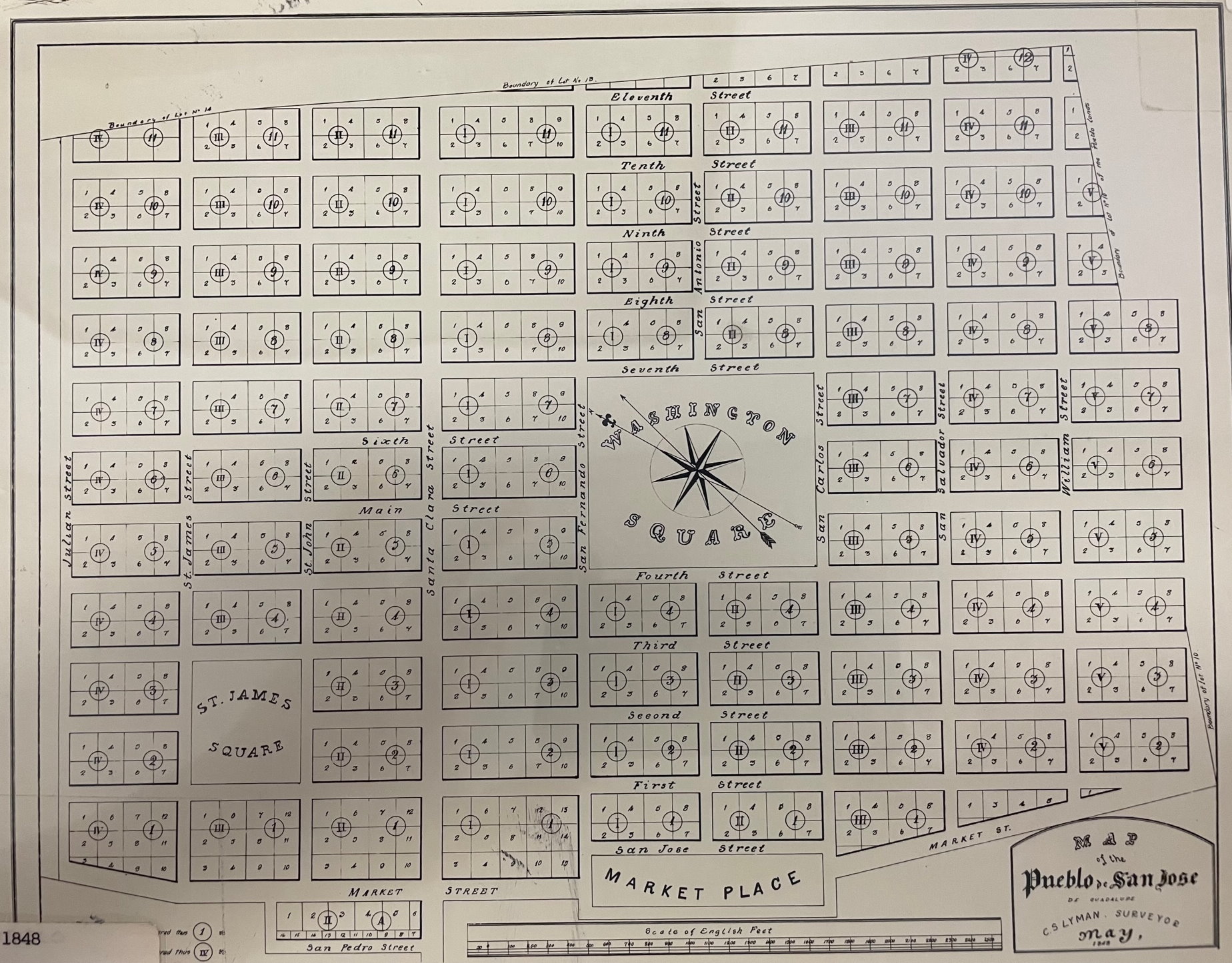
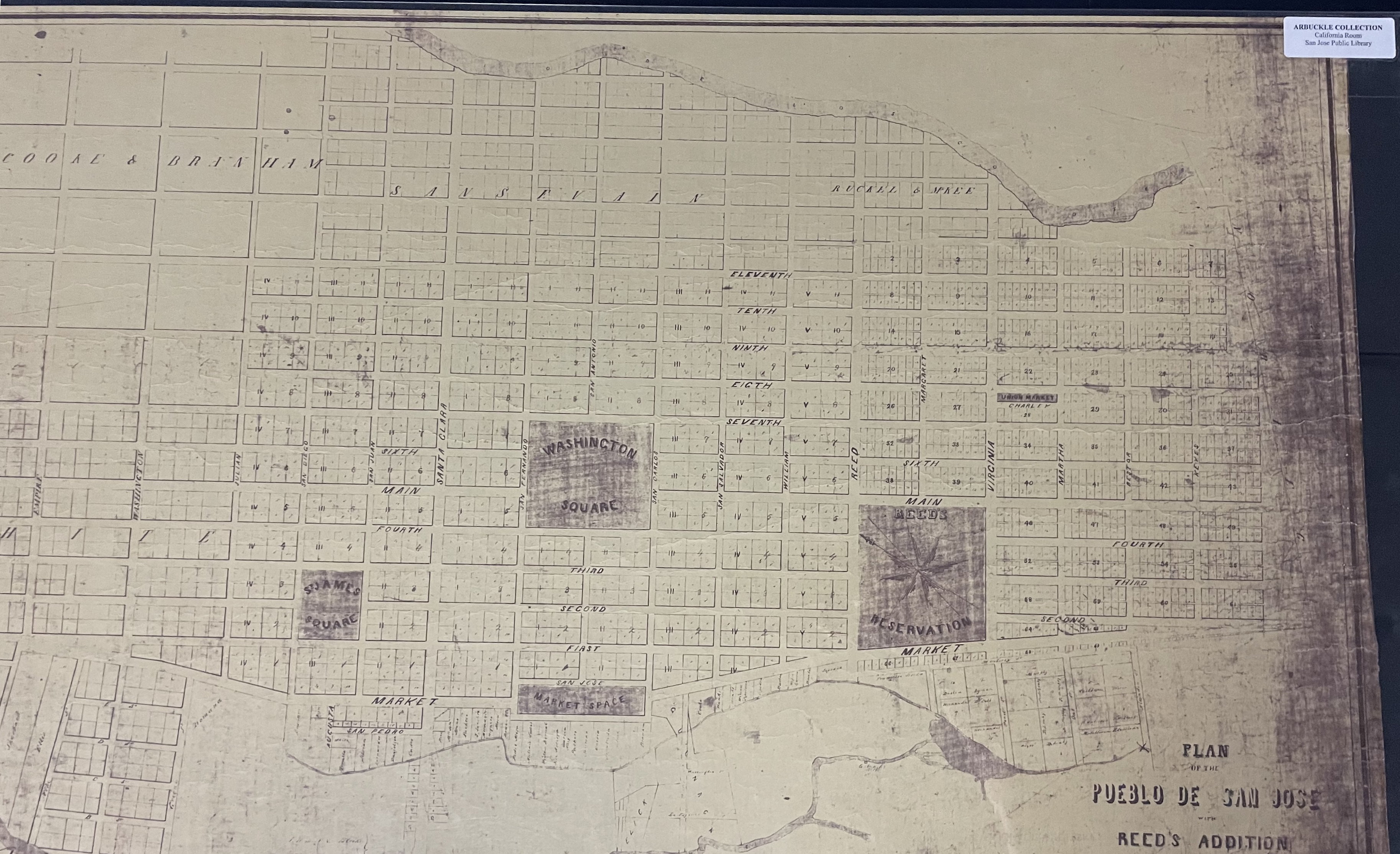
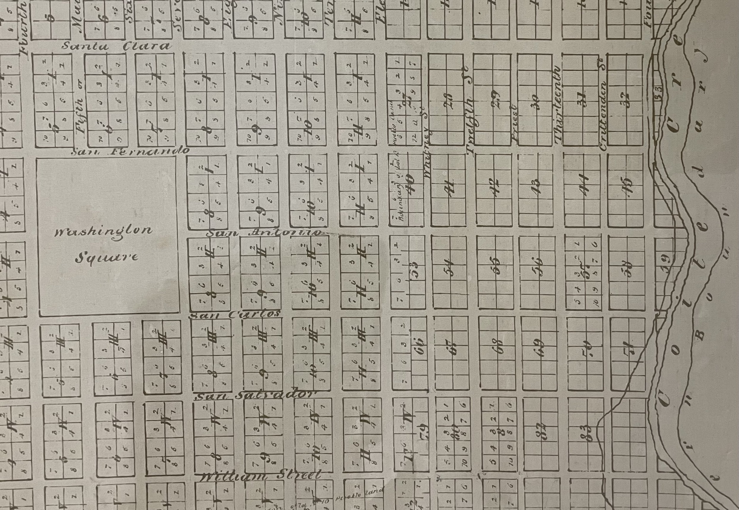
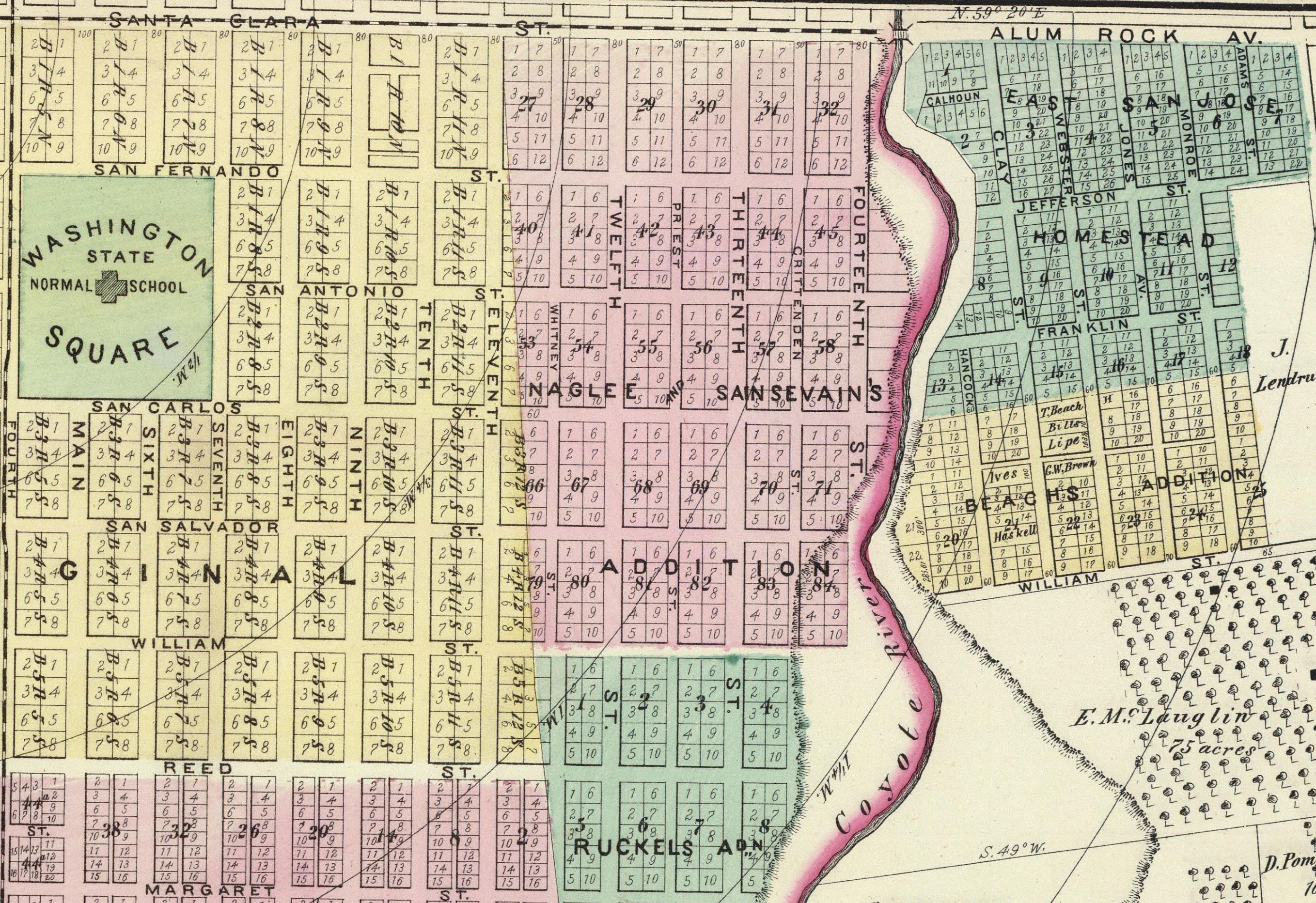
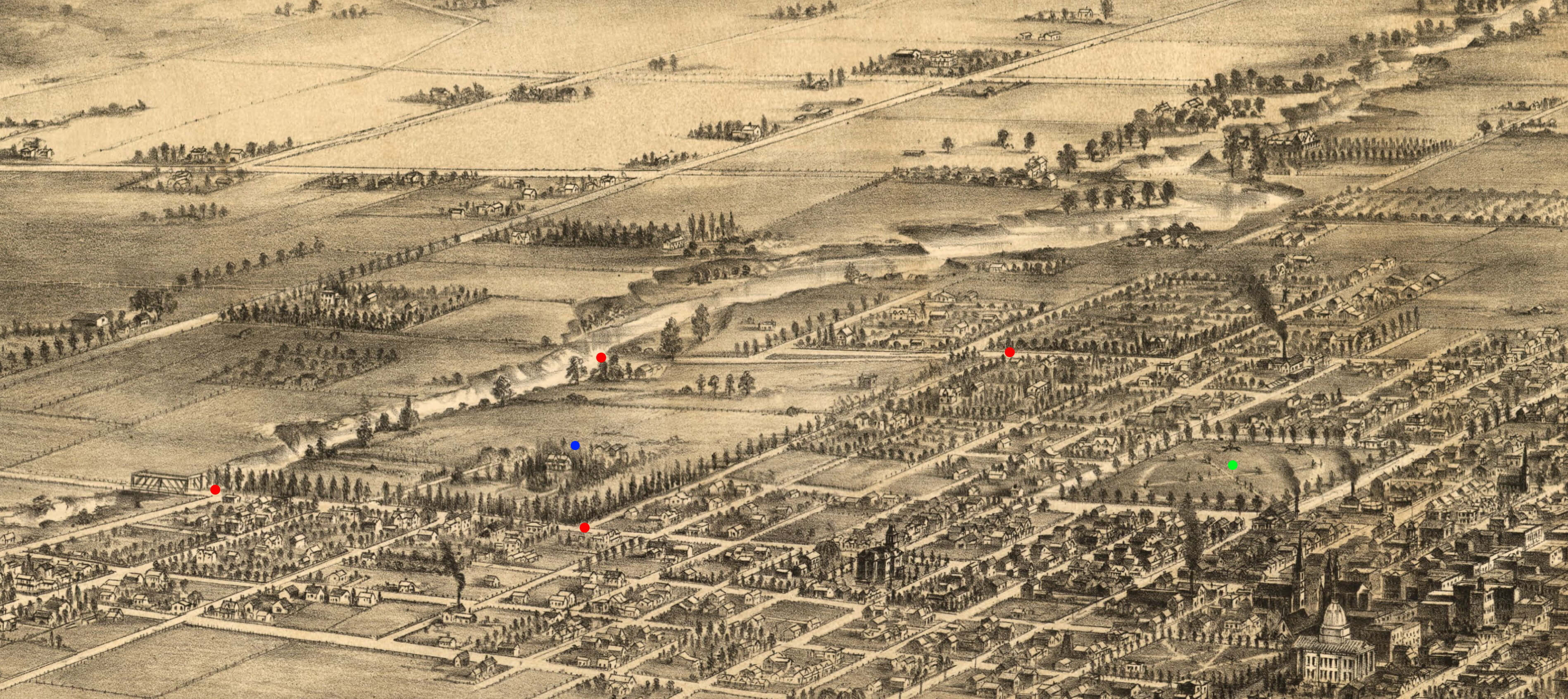
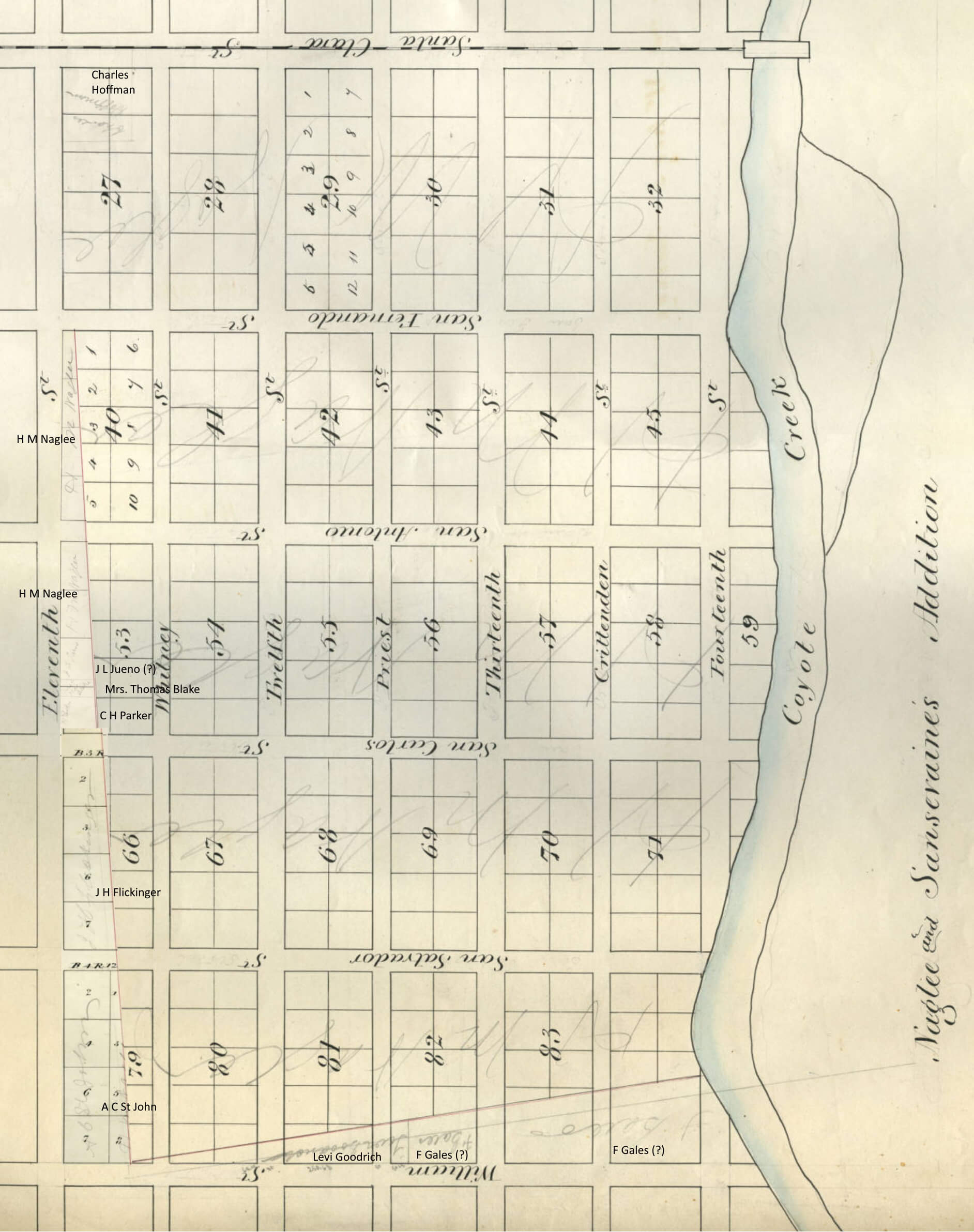
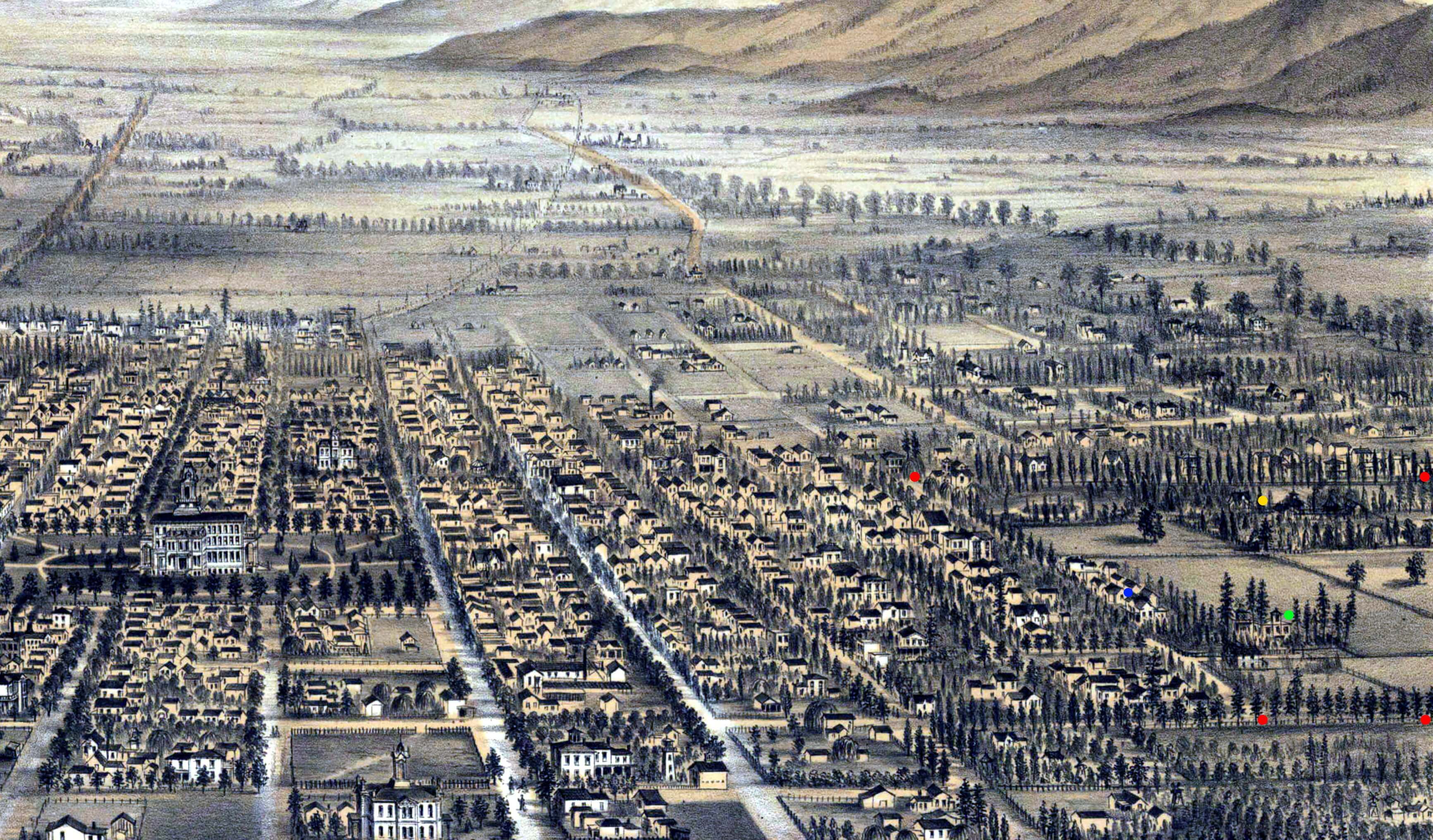
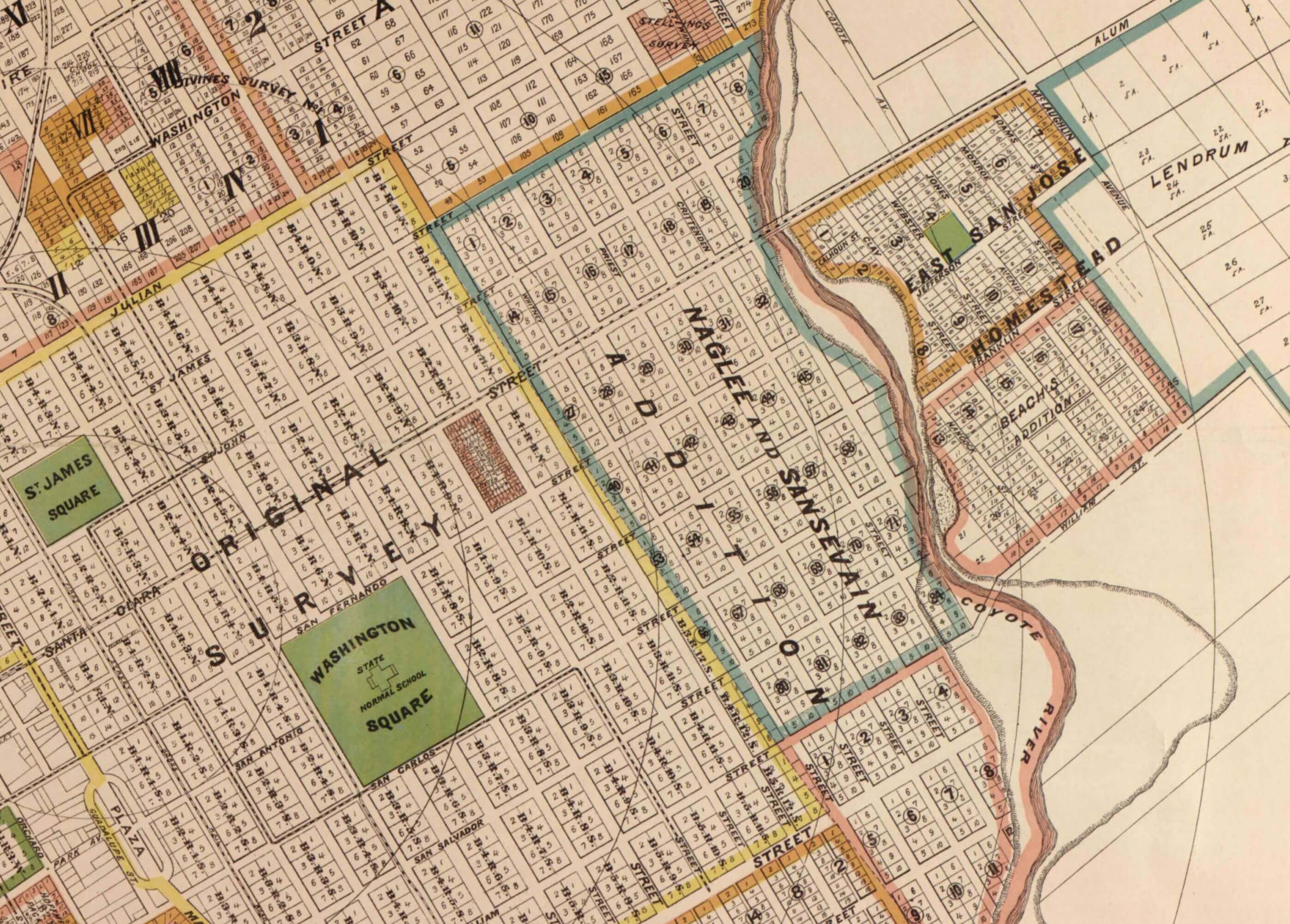
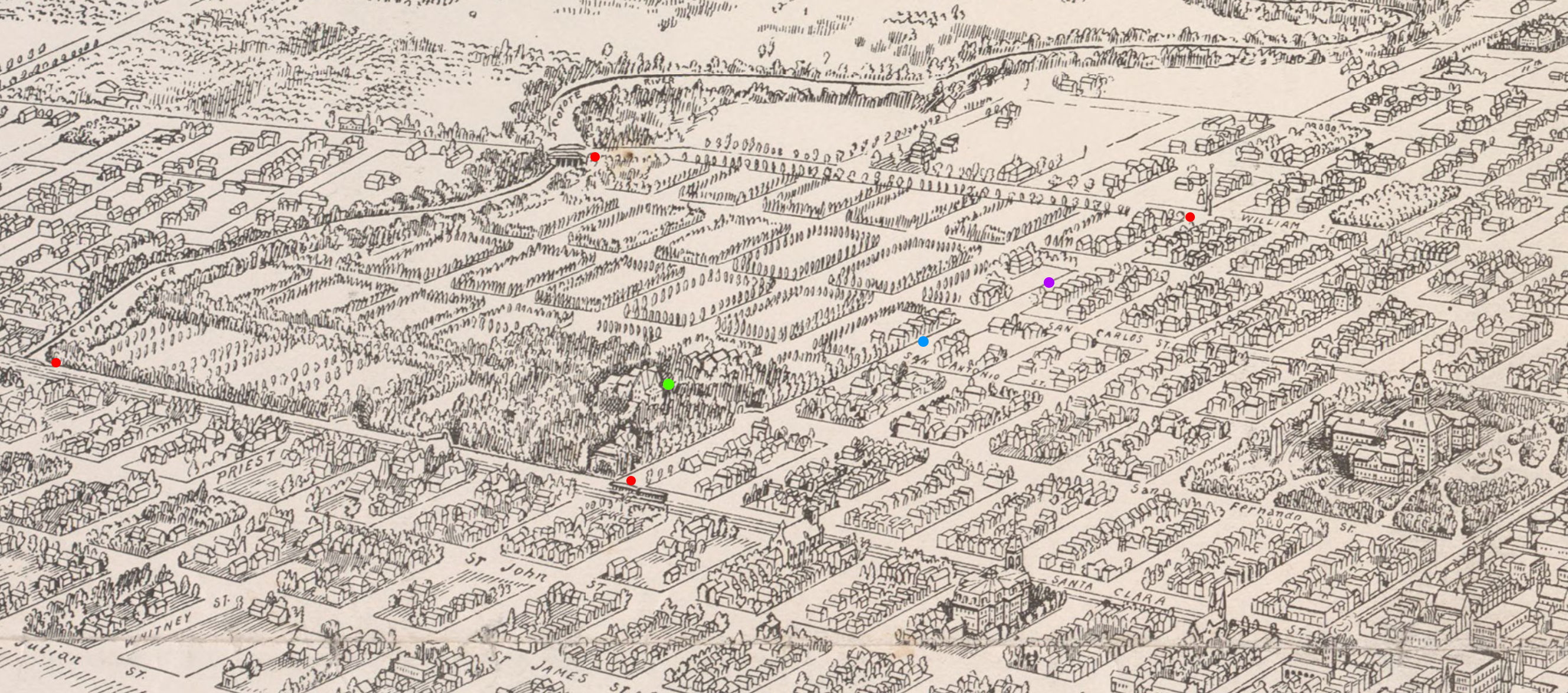
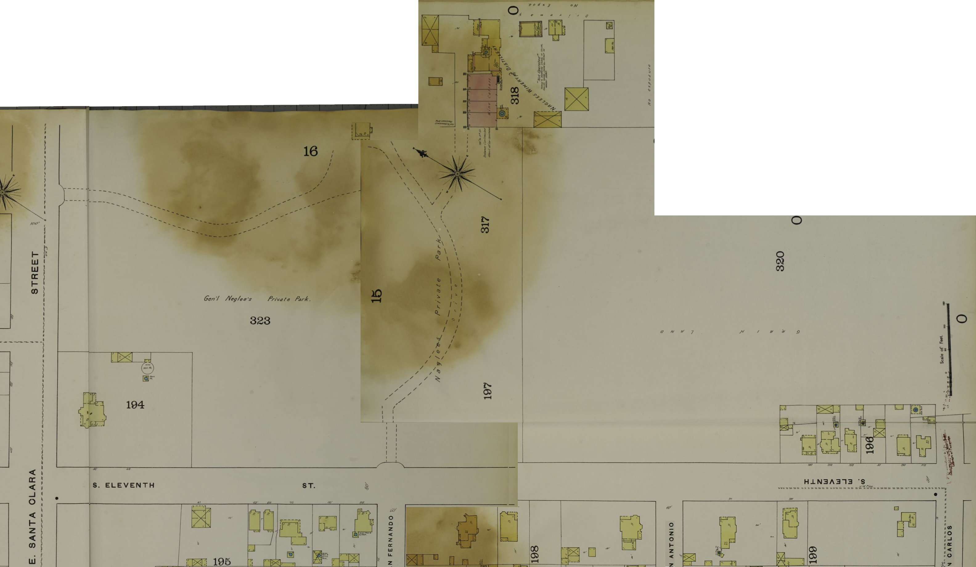
Convention wisdom has the beginning of Naglee Park at 1902 with the formation of the Naglee Park Improvement Company. In reality, the seeds of Naglee Park were planted 50 years earlier when San Jose first became a city. A number of maps survive that show this early development of the neighborhood.

1848 Original Survey of San Jose by Lyman
Here is the original layout of San Jose by Charles S Lyman when it first formed. Lyman used the traditional grid system consisting of rectangular blocks with multiple lots. The location of the block was determined by its block number (roman number), its range number and location (north or south) relative to San Fernando street. Depending on its size, each block had 8-10 lots. Washington Square (now San Jose State University) lay at the center of the city, and the city limits ended at eleventh. However, notice that the uneven boundary. The “Boundary of Lot No. 13” would presumably be land associated with Naglee. Looked at another way, the original plan incorporated some lots on 11th street between San Antonio and and William streets (the drawing shows that B4R12S has 4 lots).  

1849 Pueblo de San Jose with Reed Addition likely done by Bestor
Other landowners anticipated a great migration of new inhabitants when California opened to settlers. They rushed to have their lands surveyed and added to the original plan because they could then sell these lots at a nice profit.  This 1849 map was written by the Surveyor Norman Bestor to add Reed’s Property.  This maps shows additional additions under development including “Cooke and Barnham” (upper left), and “Ruckel and McKee” where the extended part of our Naglee Park. It also shows the “Sansevain” addition where our Naglee Park stands. Pedro Sansevain and Henry Naglee were large land owners and business partners back in the day. Both participated in the the wine making industry. It is not clear if Sansevain owned the land outright at this time, or if this label was shorthand. This survey is routinely known as the “Naglee and Sansevain” addition.

1850 Map by Thomas White
A year later in 1850 Thomas White published a map detailing all the additions to the original survey, including the Naglee Sansevain addition. Compared to the original survey, this addition used a single number to identify each block, and its lot sizes were smaller. It is remarkedly similar to the survey used by the Naglee Park Improvement Company in 1902. No development would be done for over 50 years. However, the grid with its roads was already done.

1873 Map of Third District
Jumping ahead to this 1878 map shows the results of this activity in the 1850’s. The Naglee & Sainsevain addition actually extended north of Santa Clara street a few blocks, and were developed earlier, but Naglee left his farm undeveloped. This maps clearly shows B3R12S and R4R12S which were part of the original survey. The adopted part of Naglee Park consists primarily of Ruckels Addition, with some original survey (B5R12S) and even a little Reed’s addition (Block 2 in pink) 

1869 Bird’s Eye View of San Jose
Perspective or “Bird’s Eye” maps are done all over the county. They offer an incredibly detailed and accurate view of cities. This perspective map is the first one published of San Jose. We are looking southward at the Naglee farm with Coyote Creek on the left. Naglee Park is defined by the red dots. The Naglee farm house can be seen near the blue dot. Washington Park is marked by the green dot. San Jose Normal School would not be built for another three years. If you look closely, you will notice a few additional structures on the property. There is a house on Coyote Creek and William near the upper red dot. There is also a structure near 11th and San Antonio.

1871 San Jose Block Book Map of Naglee Park area
The assessor’s office used the block book to track owners of the various blocks and lots. The diagram below was stiched together from various parts of the block book to show the various owners in current Naglee Park. The hand writing was done in pencil makes it very challenging to read. According to this document several people owned property along the periphery of Naglee Park, particularly along the original survey on 11th. Here is a list of the names

  • Block 27 (southeast corner of Santa Clara and 11th streets): Charles Hoffman
  • Block 40: Henry M Naglee
  • B2R12S of the original survey (the 200 block of 11th street): Henry M Naglee, C.H. Parker, Mrs. Thomas Blake, J F Tuers
  • B3R12S of the original survey (the 300 block of 11th street): J H Flickenger
  • B4R12S of the original survey (the 400 block of 11th street): A C St. John
  • Block 81: Levi Goodrich
  • Block 82 & 83: F. Gates
Charles Hoffman was a bigwig mining engineer. J H Flickenger was a bigwig orchardist who owned a lot of land in the Berryessa area. Levi Goodrich was a famous San Jose architect credited with designing the California State Normal School located in Washington Square. A C St John was a farmer owner is mentioned regarding his running horses.

1875 Bird’s Eye View of San Jose
The perspective has changed in this bird’s eye map. The Naglee property sits on the right side of this map as denoted by the red dots. Some of Naglee Park falls off this map along Coyote Creek. The Naglee house sits almost hidden in the trees to the left of the yellow dot. Notice that houses already exist within the confines of present day Naglee Park. A very large mansion lies near the upper left red dot (the SE corner of Santa Clara and 11th St). It would represent the Charles Hoffman mansion. Furthermore, five houses lie along 11th street denoted by the blue dot. This would represents houses built on the 200 block of 11th St, and a large houses at then end of San Salvadore as shown by the green dot., likely of the Flickinger property. Naglee did not own these houses which would all be older than any built in 1902. 

1886 Map of Naglee Park
This 1878 gives better clarity of the Naglee Property. The houses seen on the map above in Blocks 3 and 4 of the original survey. Block 3 corresponds to Block 67 and Block corresponds to Block 79. The properties of Levi Goodrich and Freeman Gales never got developed and are now located within the Naglee and Sansvaine Survey. 

This Bird-Eye map appeared in a newspaper, and has a sketch-like feel. Yet is shows some importants additions to the property. Present day Naglee Park is shown by the red dots. The 200 Block of 11th shows houses as shown earlier (blue dot). The Flickinger estate along the 300 Block is shown by the purple dot. The map shows a new row of houses along the 400 block of 11th near the upper right red dot. The Charles Hoffman mansion stands at the corner of Santa Clara and 11th near the lower right red dot.

1892 Sanborn Fire Map of Naglee Park
Sanborn produced maps all over the county selling them to the fire insurance industry to streamline the writing of policies. The maps show outlines of building and their location on the street. This map is incomplete. There are no structures past San Carlos. However it does a good job of showing the extend of housing on the Naglee property prior to 1902. There is the Naglee Winery in the upper middle. There is the mansion of Charles Hoffman at the Santa Clara. And there is series of six houses near San Carlos, the 200 block of 11th street. The house numbers read 250, 258, 268, 30, 290, 278

1901 Bird’s Eye View of San Jose
Another fabulous bird’s eye view with tremendous detail published a year before the NPIC starting selling lots. The perspective is reversed from most maps. Notice Coyote Creek on the left and the Normal School to the right. You can see the Hoffman mansion at the southeast corner of Santa Clara and 11th streets. There is also a new mansion surrounded by tall barrier tree at the end of San Salvadore in block 66.

1921 San Jose Map showing Naglee Park
At this point forward, the have become less informative.